The Peja Pass hike climbs from the floor of the Theth valley to Qafa e Pejës, a high notch in the Accursed Mountains at around 1,742 m, in a stiff climb of around three hours to the pass — roughly six hours round trip — over about 7 km of trail each way. A gentler valley approach gives way to a steep final push of 1.5 to 2 hours up to the pass itself. It is sharp and exposed — a serious day out rather than a stroll — and it rewards you with one of the finest close-up views of Maja e Harapit, the pyramid peak known as the "Matterhorn of Albania". This guide covers the route, the trail stats, and why the pass matters far beyond a day walk.
If you are still choosing between the valley's walks, start with our best hikes in Theth overview, then come back here for the detail.
Peja Pass at a glance
| Detail | |
|---|---|
| Destination | Qafa e Pejës (Peja Pass), ~1,742 m |
| Distance | ~7 km one way (~14 km return) |
| Time | ~3 h up, ~2–2.5 h down (~6 h return with breaks) |
| Ascent | ~1,000 m of climbing from the valley (~700 m) |
| Difficulty | Strenuous — steep, loose scree, exposed |
| Water | None reliable on the climb — carry ~3 L |
| Best months | June to September, once the snow has cleared |
The short version: this is the hardest of Theth's popular day hikes for its length. It gains height relentlessly, the upper section is loose and airy, and there is no water once you leave the village. Set off early, carry plenty of fluid, and turn back if cloud closes in on the pass.
Where the trail goes
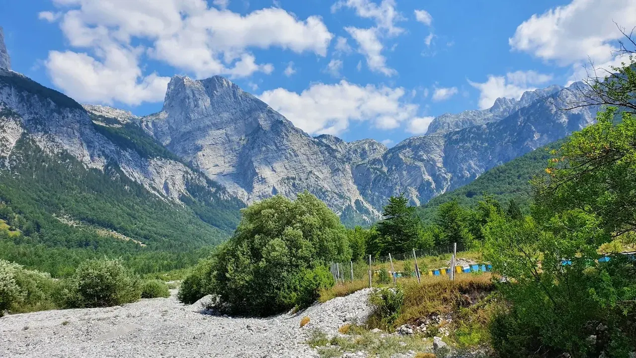
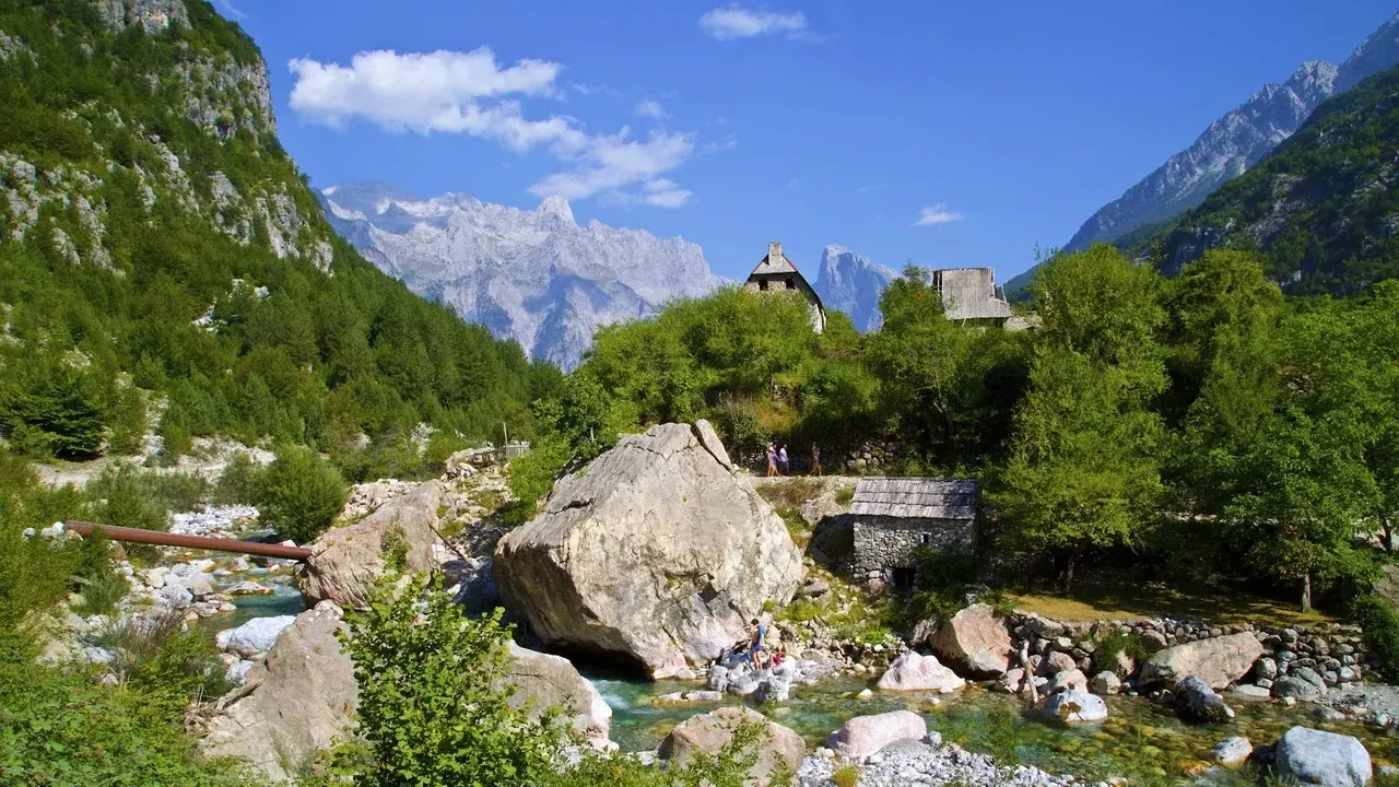
The route starts near the centre of Theth and heads roughly north-west, up the flank of the valley towards the wall of peaks that separates Albania from Montenegro. The lower section works through pasture and thinning beech forest on a rough donkey track, marked in places with the red-and-white blazes used across the Albanian Alps. It is steep from early on and stays that way.
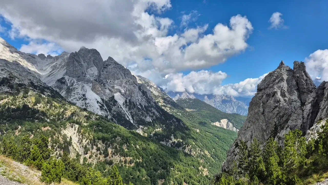
As you gain height the trees give out and the path steepens into a series of switchbacks across open, stony slopes. The final pull to the pass crosses loose scree with real exposure in places — sure footing matters here, and trekking poles earn their keep. When you top out at Qafa e Pejës the reward is immediate: a raw, rocky saddle with the great pyramid of Maja e Harapit (~2,217 m) rearing up nearby, and a long view down into the wild country on the far side.
Most walkers turn around at the pass and retrace their steps, which makes for a satisfying half-day. The descent is quick but hard on the knees — the same loose ground you climbed is more treacherous going down, so take it slowly.
How hard is it, really
Do not underestimate this one. It is shorter than the Theth to Valbona crossing, but the climbing is more concentrated and the surface is worse. Expect around 1,000 m of ascent over roughly 7 km each way, much of it concentrated in a relentless upper section on ground that is rocky, loose and, near the top, exposed. Anyone comfortable on a mountain path in decent boots can do it, but it is not a walk for young children, for anyone nervous about heights, or for a hot afternoon with a half-empty water bottle.
The biggest practical trap is water. There is no reliable spring on the climb, and the south-facing slope bakes in summer. Carry at least 3 litres per person, start at first light in July and August, and wear a hat and sun cover — there is almost no shade above the treeline.
The bigger picture: Peja Pass and the Peaks of the Balkans
Qafa e Pejës is not just a viewpoint. It is a crossing point on the Peaks of the Balkans trail, the long-distance loop that threads Albania, Montenegro and Kosovo. From the pass the route drops down towards the Montenegrin side and on to Peja Lake and beyond, which is why you will meet multi-day trekkers on the climb, packs and all.
If you intend to walk over the pass and out of Albania — rather than simply up and back — you are on an international border route and will need the correct cross-border permit arranged in advance. Permits are date-specific and take time to process, so this is not a spur-of-the-moment decision. Read our Peaks of the Balkans trail guide before you plan anything that crosses the ridgeline, and treat the day-hike-to-the-pass and the border-crossing as two very different undertakings.
What to bring
Because the pass is exposed and waterless, pack for it properly:
- Water: ~3 L per person, more in a heatwave.
- Footwear: proper hiking boots with grip — trainers are not enough on the scree.
- Sun protection: hat, sunglasses, high-factor cream; the upper slopes are shadeless.
- Layers: it is markedly colder and windier at the pass than in the valley, even in summer.
- Poles: genuinely useful on both the climb and the loose descent.
- Offline map: mobile signal in the valley is patchy, so download the trail before you set off.
A local guide is worth considering if you are unsure of the ground or want the route context — guesthouses arrange them, and you can browse options on our activities page. For the landmarks and viewpoints you will pass elsewhere in the valley, see our landmarks overview.
When to go
The Peja Pass hiking window runs roughly June to September. Earlier than that, snow can linger on the upper switchbacks and in the scree gullies below the pass, making the climb genuinely dangerous without proper equipment. By October the weather turns and the days shorten. Whenever you go, check the forecast the night before with your host: the pass is no place to be when cloud, wind or thunderstorms roll in over the ridge. For a wider seasonal view, see best time to visit Theth.
A sample day plan
Because the climb is so front-loaded, the trick is to get the hard work done before the day heats up. A realistic plan looks like this:
- 06:30 — breakfast and fill up. Eat well and top up your water bottles in the village; there is nothing to buy on the trail.
- 07:00 — set off. Walking early means shade on the lower slopes and cooler rock for the scree above.
- 10:00–10:30 — reach the pass. After the valley approach and the steep final push, take your time at Qafa e Pejës for the views of Maja e Harapit and a proper rest before the descent.
- 12:30–13:30 — back in the valley. You are down by early afternoon, before the worst of the cloud builds, with the rest of the day free.
That schedule leaves the afternoon for something gentle — the meadows, the church or a swim — which is exactly how the Peja Pass pairs best with the rest of a Theth trip. It is a big morning effort rather than an all-day expedition, and it slots neatly into a longer stay alongside easier days. If you are working out how much time the valley deserves, see how many days in Theth.
How the Peja Pass compares
Theth's three headline walks each ask something different of you. The Theth to Valbona hike is the long-distance classic — around 15 km over the Valbona Pass, a full 6-to-8-hour crossing, but on a well-graded and hugely popular trail. The walk down to the Blue Eye is easier underfoot but a long day for the distance. The Peja Pass is the steepest and most concentrated of the lot: less distance, more punishment, and rougher, more exposed ground near the top. If you want the biggest reward for the shortest walk — and you are sure on steep, loose terrain — it is the one to choose.
Frequently Asked Questions
How long is the Peja Pass hike from Theth?
It is about 7 km each way — roughly 14 km return — with a valley approach and then a steep 1.5 to 2 hour final push to reach the pass, followed by a knee-testing descent. Allow a full day of around six to seven hours with breaks. The steep, loose ground makes it feel even longer than the distance suggests.
How high is Qafa e Pejës?
The Peja Pass sits at around 1,742 m, though published figures vary a little between sources. That is roughly 1,000 m above the Theth valley floor, which is why the climb is so relentless. Nearby Maja e Harapit, the "Albanian Matterhorn", rises to about 2,217 m and dominates the view from the saddle.
Is the Peja Pass hike difficult?
Yes — it is the steepest of Theth's popular day hikes for its length. The trail climbs continuously, the upper section crosses loose scree with real exposure, and there is no water once you leave the village. It suits fit walkers in proper boots, not families with young children or anyone uneasy on airy ground.
Do I need a permit for the Peja Pass?
Not for an up-and-back day hike from Theth. But if you cross the pass and continue into Montenegro on the Peaks of the Balkans trail, you are crossing an international border and need a date-specific cross-border permit arranged well in advance. Verify the current process before you plan a crossing.
Is there water on the Peja Pass trail?
No reliable water source once you leave Theth. The climb is south-facing and shadeless, so carry at least 3 litres per person — more in hot weather — and fill up in the village before you start. Running short of water on the exposed upper slopes in midsummer is the most common way this hike goes wrong.